Voxel modelling
Urban areas
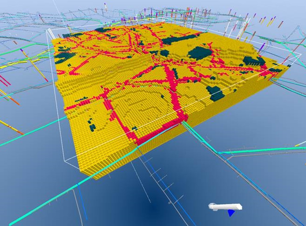
The course is focused on building detailed voxel models in urban areas. The basic content is similar to "Voxel modelling - Hydrogeology", but on this course we will import and incorporate infrastructure in the voxel model. Infrastructure is roadbeds, trenches around water pipes and sewer pipes, basements in buildings etc.
A detailed voxel model in an urban area might assist city planners, geotechnical experts, and others, planning for future city development, e.g., pointing out areas with problematic geotechnical properties, areas suitable for SUD solutions, or areas at considerable risk for flooding during cloudbursts.
The course is based on presentations, hands-on demo, and homework (exercises).


Key Points
- Looking into voxel models - advantages and disadvantages compared to layered models
- Setting up a voxel model in GeoScene3D - user interface and features, incl. modeling tools
- Interpretation procedures - possibilities
- Build a voxel model from an existing layered model
- Incorporating infrastructure (based on vector data)
- Infrastructural data formats
- Get into details with voxel modeling tools
- Editing and cropping of voxel grids
- Volume calculations
Who should attend?
Users with overall knowledge of GeoScene3D.
Advantage, but not required, to have comprehensive knowledge of methods behind geological modeling and the various types of data that are typically included.
I want to sign up
You can request dates that will fit your calendar, and we will try our best to match your request.
