GEOSCENE 3D
BASIC
In this course we import different data typical used for geological modeling; boreholes, geophysics, grids etc. We setup a layered model, by defining top and bottom of 2 regional sandy aquifers, divided by clay (aquitards). We define interpretation points and how they are used to generate surfaces by interpolation.
We'll take a look at different tools in GeoScene3D (grid adjustment, toolbox, 3D interpolation of AEM data, volume calculations, data eksport etc.
We also look at some model outputs, and how they can be used for informed decision-making in the field of groundwater management.
The course will also be useful for people working with soil contamination.


Key Points
- Setting up a geological modelling project
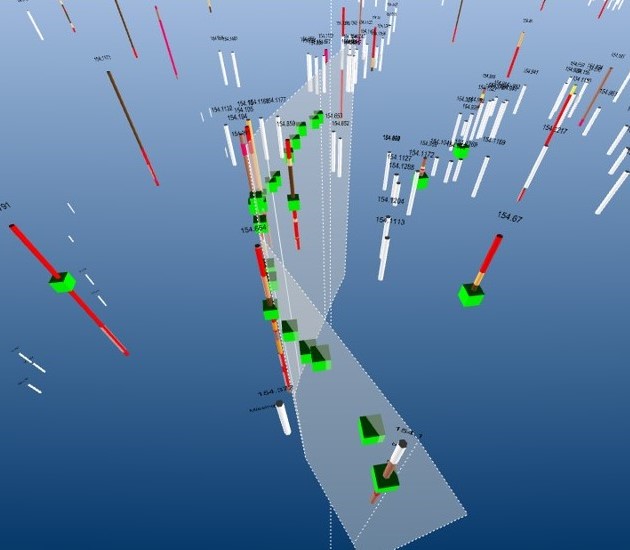
- Importing diverse data types (e.g., boreholes, geophysics, grids, water chemistry, seismic, etc.)
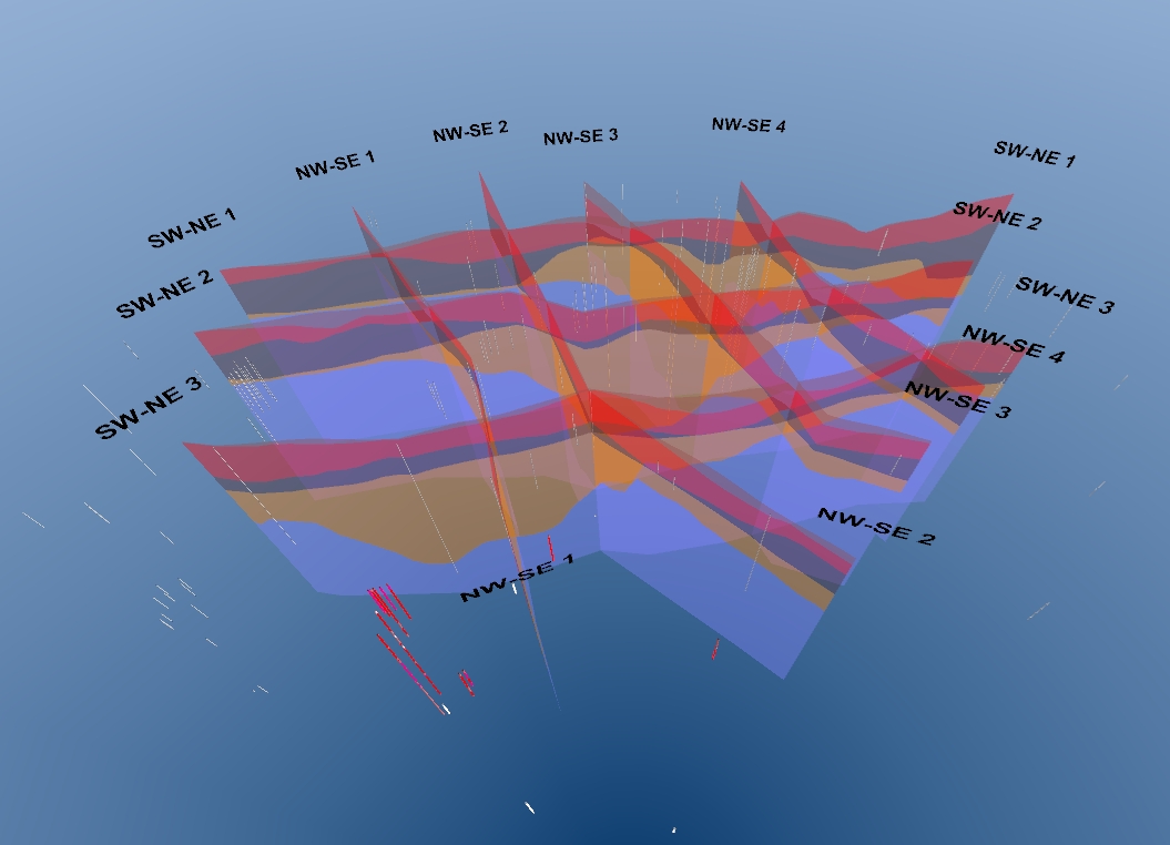
- Making profiles for visualization and interpretation and organizing them into groups
- Conducting point and surface interpretations in 2D and 3D
- Get basic understanding of interpolation, and using GeoScene3D to interpolate points to surfaces and 3D grids
- Exploring the Toolbox and Grid Adjustment and Evaluation
- Discussing data uncertainty
- Brief introduction to voxel modeling
- Introduction to relevant GeoScene3D tools and extensions
Who should attend?
Users who want advanced knowledge of GeoScene3D.
Advantage, but not required, to have comprehensive knowledge of methods behind geological modeling and the various types of data that are typically included.
I want to sign up
You can request dates that will fit your calendar, and we will try our best to match your request.
