GEOSCENE3D
ADVANCED
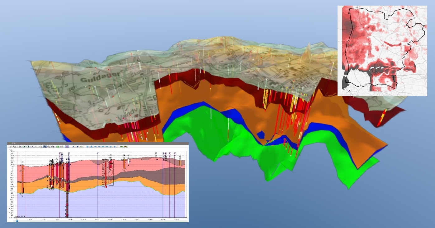
This course is tailored for professionals in the field of geological modeling. The course will be based on your own data and your focus based on your own case. Our course equips you with the skills needed to build layered geological models, accompanied by real-world examples that exemplifies the typical challenges faced by geo-modelers, from model requirements to data sources, levels of detail and outputs to decision makers. We'll explore interpretation techniques and strategies to enhance your proficiency.
The course is a combination of lectures and exercises (homework). At the end, you'll be able to build your own layered geological model, make relevant outputs (e.g., cross sections, isopach maps etc.) and export those to decisionmakers.
While prior GeoScene3D knowledge is beneficial, it's not a strict requirement. Basic familiarity with geological modeling and data types is recommended though.


Key Points
- Setting up a geological modelling project with your own data
- Importing diverse data types (e.g., boreholes, geophysics, grids, water chemistry, logs, seismic, etc.)
- Making profiles for visualization and interpretation and organizing them into groups
- Conducting point and surface interpretations in 2D and 3D
- Get basic understanding of interpolation, and using GeoScene3D to interpolate points to surfaces and 3D grids
- Exploring the Toolbox and Grid Adjustment and Evaluation
- Discussing data uncertainty
- Brief introduction to voxel modeling
- Introduction to relevant GeoScene3D tools and extensions
Who should attend?
New or existing users with a general understanding of your data.
I want to sign up
You can request dates that will fit your calender, and we will try our best to match your request.

