YOUR GEO-DATA MANAGEMENT SYSTEM
The perfect online platform for storing and sharing your valuable geo-data.

With GeoCloud the geo-data management task has become much easier.
WHY
GeoCloud?
Designed for geologists by geologists
GeoCloud revolutionizes how you manage, store, and utilize your geoscience data by enhancing efficiency and preventing data loss from neglected storage or overlooked drives. It facilitates seamless collaboration on models, data sharing across geographical boundaries and streamlines workflows by reducing time spent on data conversion. This will allow you to concentrate on other productive tasks.

EXPLORE
GeoCloud
GeoCloud offers a centralized platform for managing, visualizing, and accessing your geoscience data and geological models. With a cloud-based infrastructure, it facilitates seamless data sharing and collaboration.
Try GeoCloud Now
Explore the GeoCloud web viewer by signing up to our Demo portal.

Easy to use
In the GeoCloud Learning Center you'll find a wide selection of video tutorials and an online Wiki-page, which will guide you through GeoCloud's functionalities.
Furthermore, we have free online support, typically answering within a few hours. No tickets or registration needed - just write us.

Integration with GeoScene3D
GeoCloud seamlessly integrates with GeoScene3D, enabling effortless access to all your data. Not only can you store and retrieve GeoScene3D projects directly through the browser, but this integration also facilitates smoother workflows for your geoscience modeling tasks.

Streamlined Data Access
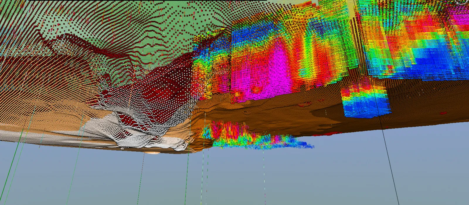
View data through various visualizations like the 2D GIS map, 2D cross-sectional profiles, and a dynamic 3D viewer.
Customized Solutions:
Our team is dedicated to develop GeoCloud to meet unique organizational needs. Should you have specific functionality requests or integration requirements, we're here to tailor the platform accordingly.
For more insights into how GeoCloud can revolutionize your geoscience data management, reach out to us.
FEATURE
OVERVIEW
Store and visiualize your geo-data on the web, sharing them with selected users or the public. Data can be visualized on maps, cross sections and in 3D. GeoCloud also allows access to data directly from GeoScene3D, allowing for fast access to geo-modelling.
PRICING &
SUBSCRIPTION OPTIONS
Our subscription option is flexible and scalable to fit your needs.
GeoCloud's pricing is tailored to its value for the users, measured by site activity and data/model storage. Our tiered pricing structure starts at 5000 € per year, ensuring flexibility and scalability to fit your needs.

Three Pricing Tiers
GeoCloud employs a tiered pricing structure with three distinct levels: Starter, Professional, and Enterprise, each offering progressively more site activity and data/model storage.
Customized Pricing
GeoCloud also offers a custom pricing options, tailored to meet unique requirements and specific business needs. Contact us for a personalized solution that aligns perfectly with your organisation's scale and scope.
Municipality Discount
We offer special discounted pricing for municipalities and other small administrative entities, featuring tailored storage and site activity options at reduced rates.
REQUIREMENTS
System Requirements
To use GeoCloud, all you need is a reliable internet connection and a web browser.
More Information
Contact us directly at: supportgs3d@i-gis.dk or stop by our GeoCloud Learning Center to learn more.
SIGN UP FOR FREE
Explore the GeoCloud web viewer by signing up to our Demo portal.
Signup to our newsletter
Receive news about updates, workshops and events sent directly to your inbox!


